

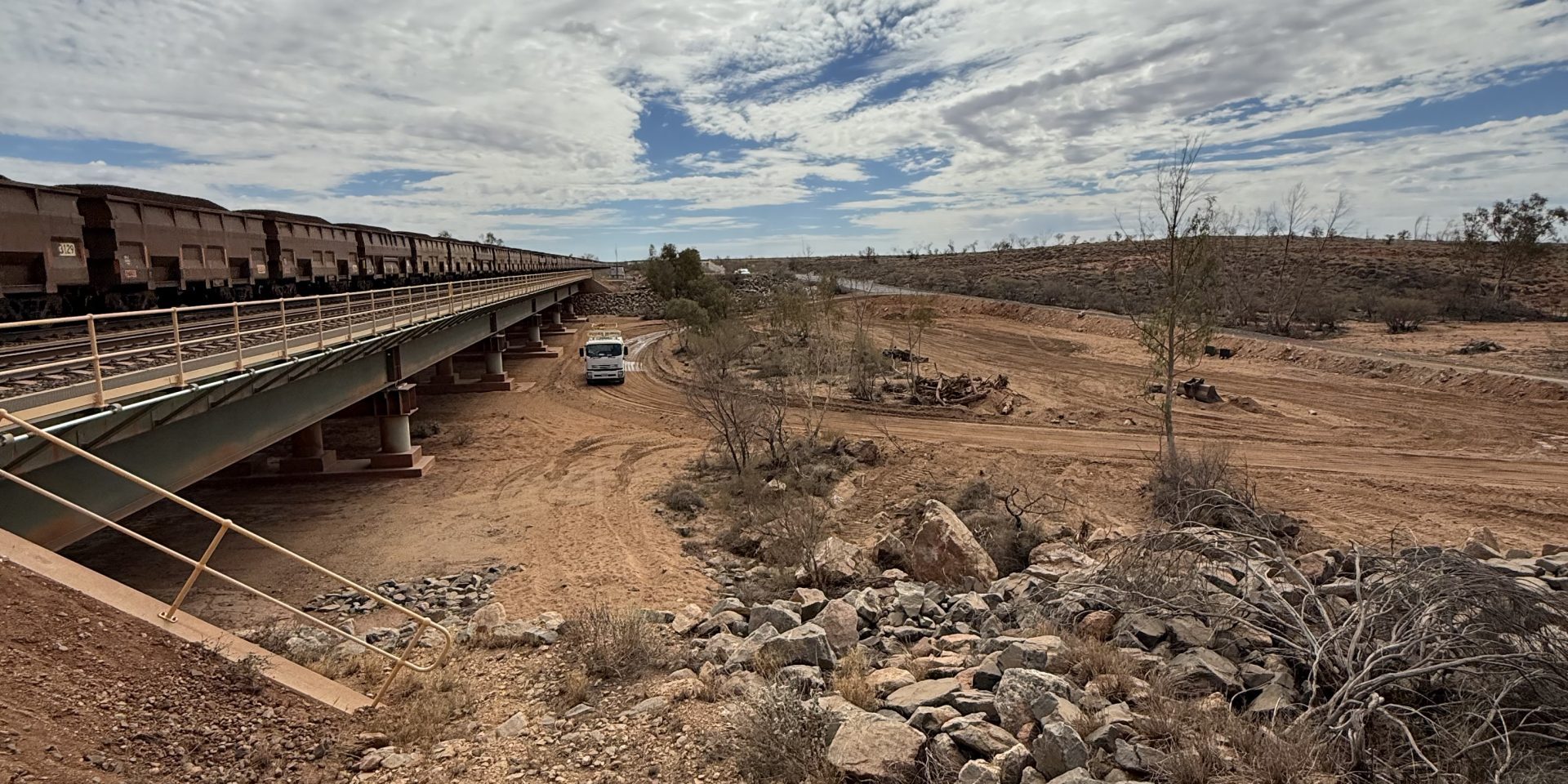
Project Name: BHP Redmont Rail Project – Floodway Construction
Principal: BHP
Client: Monadelphous
Location: Pilbara, Western Australia
Status: In-Progress
Survey Dynamics is providing comprehensive engineering survey and machine control support for the construction of two floodways on the BHP Redmont Railway Project. Survey involvement extends throughout the full construction lifecycle, from initial bulk earthworks and excavation through to final concrete construction and as-built verification.
Survey Control & GNSS Infrastructure
A key part of our role is establishing and maintaining accurate survey control across the project. GNSS base stations are set up and verified to provide reliable correction data to survey equipment and GPS Machine Control.
Machine Control
Client-issued design information is reviewed and converted into practical 3D machine control models for GPS-equipped plant.
These models allow operators to construct directly to the required design surfaces, levels, grades and extents while reducing reliance on traditional physical set-out.
As designs are revised throughout the project, machine control models are reviewed and updated to ensure construction plant is operating from the latest approved information.
Earthworks & Construction Surveying
Survey support is provided throughout the progressive construction of the floodways, including:
- Establishment and verification of project survey control
- GNSS base station setup and monitoring
- Initial topographic and existing-ground surveys
- Bulk earthworks and excavation set-out
- Preparation and management of machine control models
- Level and grade verification
- Subgrade and formation checks
- Design-to-survey surface comparisons
- Construction quantity and volume calculations
- Concrete set-out and level control
- Progressive as-constructed surveys
- Final as-built verification
Design Verification & Quality Control
Throughout construction, surveyed surfaces are compared against the client design to identify differences in levels, grades and construction extents.
This provides the project team with accurate information to assess construction tolerances, calculate quantities and identify areas requiring adjustment before subsequent stages of work proceed.
From Design to Construction
By combining engineering surveying, GNSS infrastructure, 3D modelling and machine control, our team provides a direct link between the client’s engineering design and the machinery constructing it in the field.
Our involvement from initial earthworks through to finished concrete ensures accurate survey control and consistent design implementation throughout every stage of floodway construction.